| Title |
Elevation Sea Level Sign Death Valley |
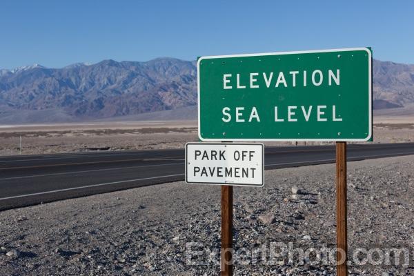
| Image Description |
This is the sign that marks sea level in Death Valley. |
| Keywords |
death valley, sea level sign, sign |
| Copyright |
©ExpertPhoto.com All Rights Reserved |
| Artist |
ExpertPhoto.com |
| Make |
Canon |
| Camera Model Name |
Canon EOS 5D Mark II |
| Lens Model |
EF50mm f/1.4 USM |
| Focal Length |
50.00mm |
| Shutter Speed Value |
1/1250 second |
| Aperture Value |
5.60 |
| ISO |
100 |
| Date/Time Original |
Saturday March 03, 2012 08:01am |
| GPS Speed |
1.26 kmh (0.78 mph) |
| GPS Altitude |
0 meters (0.0 feet) above sea level |
| GPS Latitude |
36.4484834333056 |
| GPS Longitude |
-116.8529576 |
| Map |
Google Map Link
|